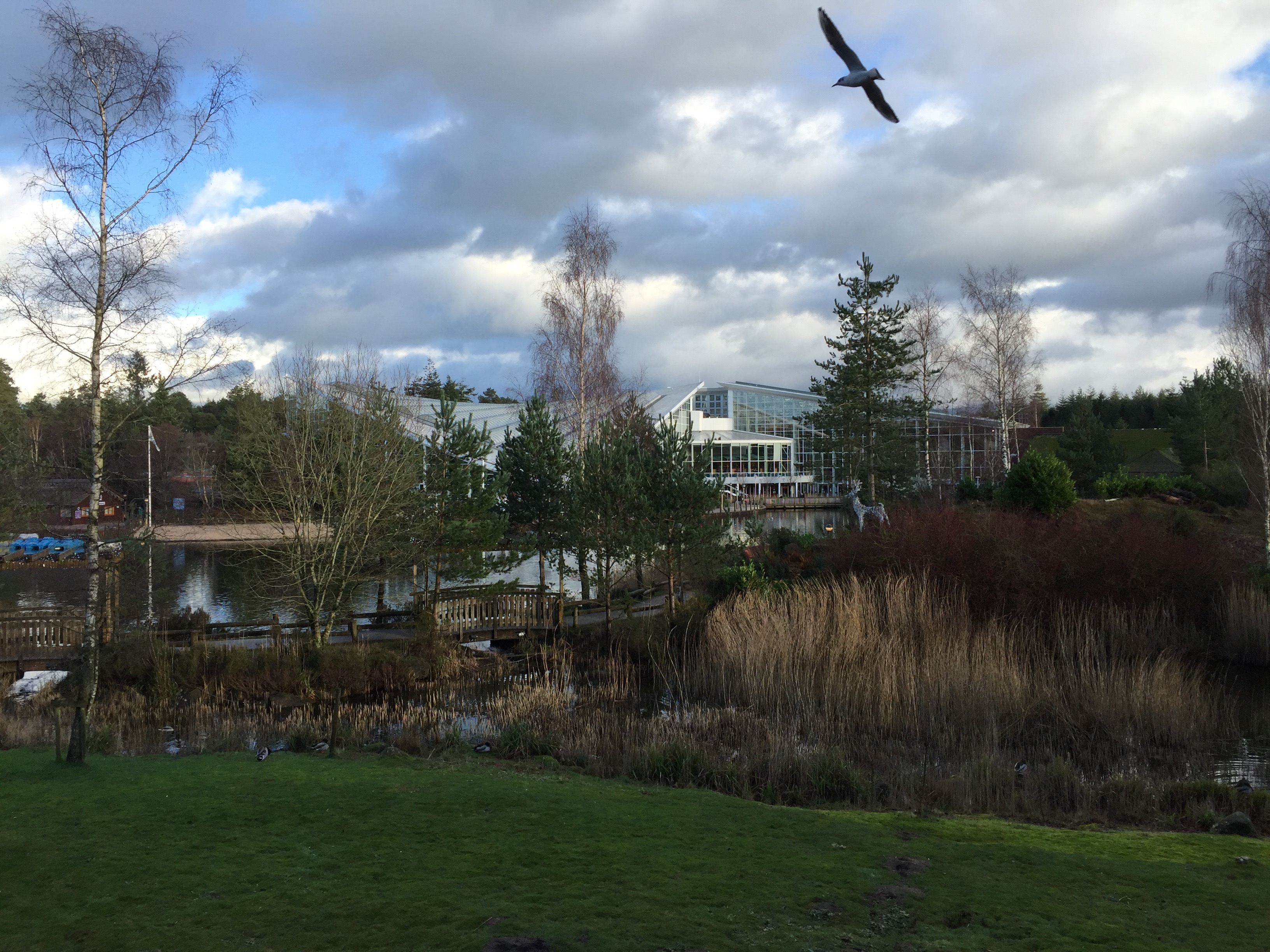
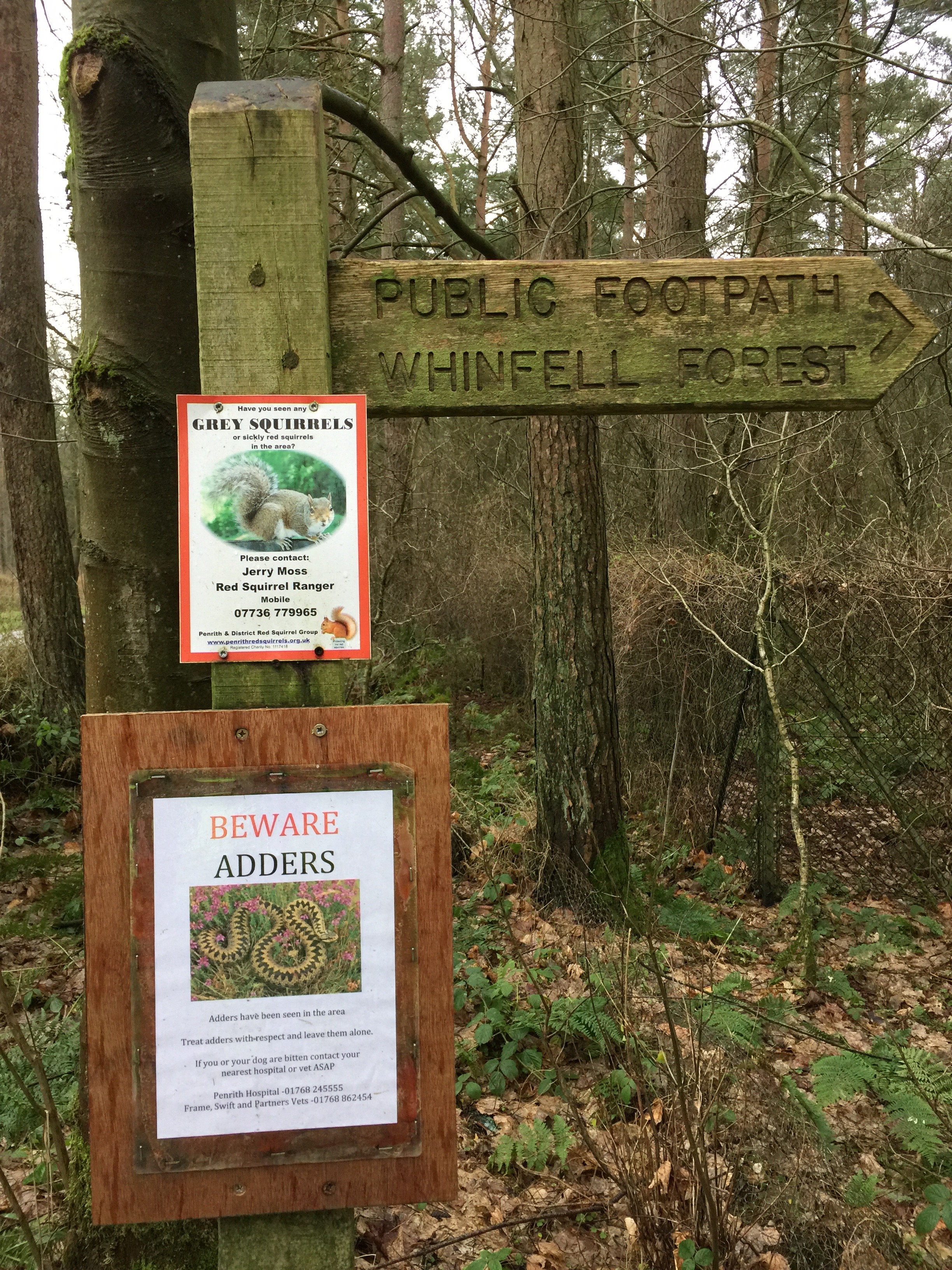
Helen and I enjoy spending New Year at Center Parcs; a perfect way to charge the batteries up ready for a new term. Up until this year we had opted for the Sherwood Forest location but after a quick visit to Whinfell during the summer to visit my daughter and family we decided to book for there instead.
I like to get out and about exploring the area in and around these parks and since I knew nothing of the woods and countryside surrounding Whinfell there was much for me to do over the course of two short runs.
Day 1 – West & South
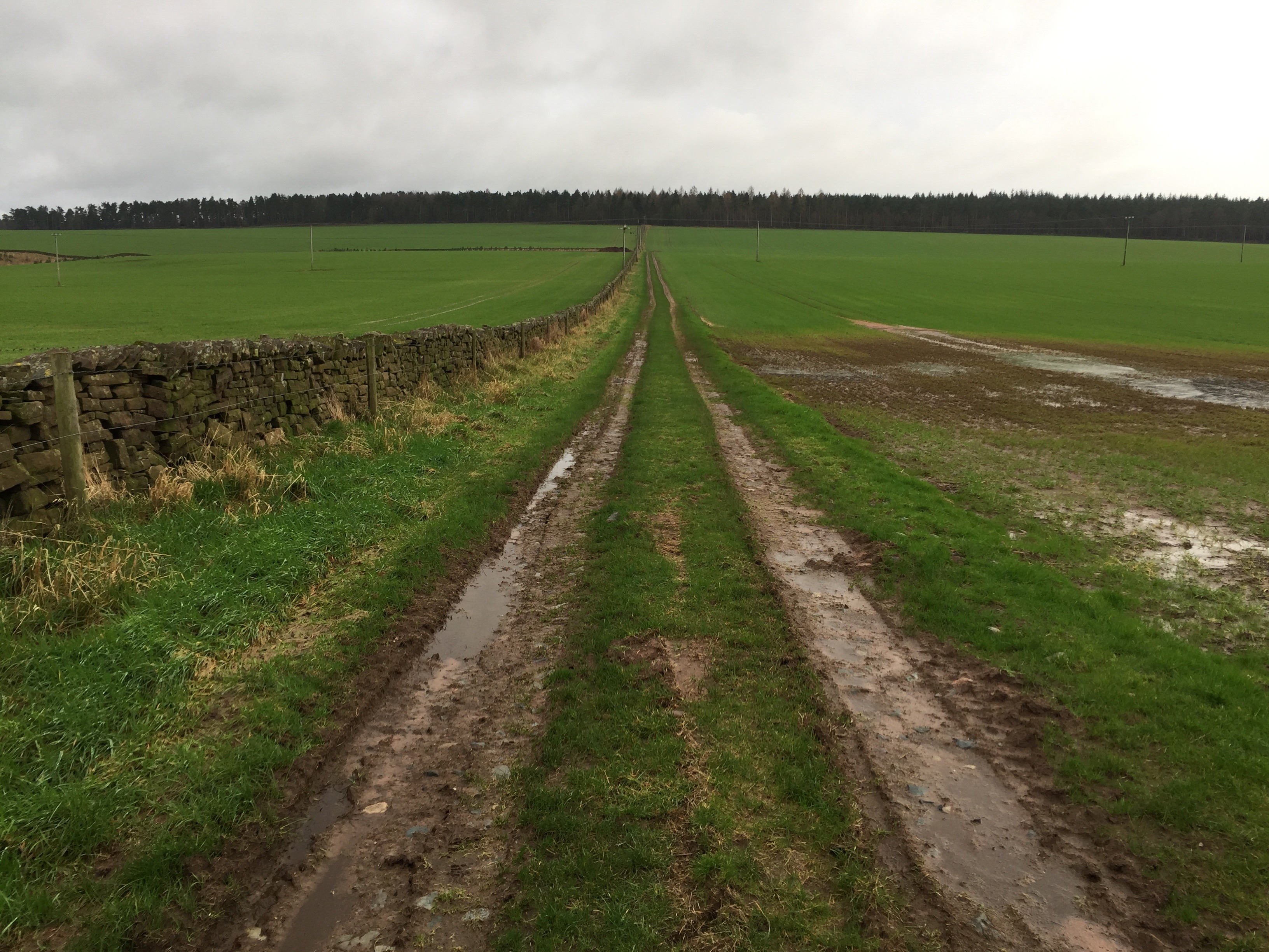
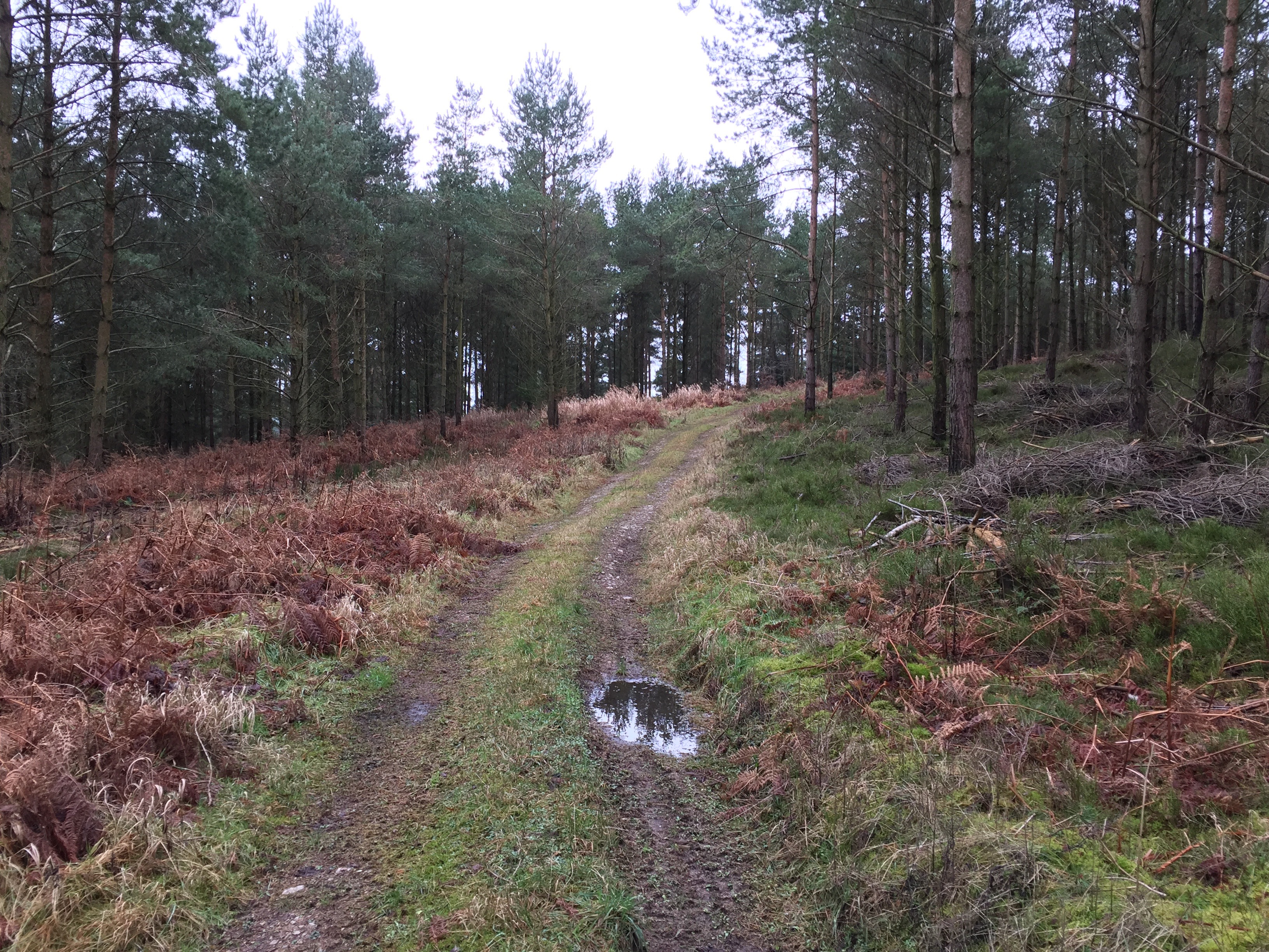
The Western, Northern and Eastern sides of the park have a ROW running right by the perimeter fence on the external side – this links to a handful of paths which radiate out into the neighbouring countryside. I headed up and over Quarrystone Bank and down to the farmland below. Spotting a tarmac road at the other side of the field I headed for this and proceeded South to the road at Low Dykes. I’d guessed I must be on private land since the tarmac road just showed as a track on the OS map, so I made to exit ASAP. As I padded along an SUV came speeding up the same lane towards me and, sure enough, the driver – who looked every inch the landowner – told me that I was on private land but that I was ok to carry on. We had a quick chat and I was on my way.
When I arrived at the road another car pulled up! This time the occupants were seeking directions to Clifton. Not being local I used my smartphone map to locate the village and they were soon on their way.
It was then a schlep along the road, past Wetheriggs and by the Ling Plantation to Cliburn Moss National Nature Reserve. Here I headed North to South Whinfell farm. The ROW took a little finding through the farm buildings but I soon was on Leacet Hill where there is an entrance onto the Center Parcs estate. (8 miles)
Day 2 – North & East
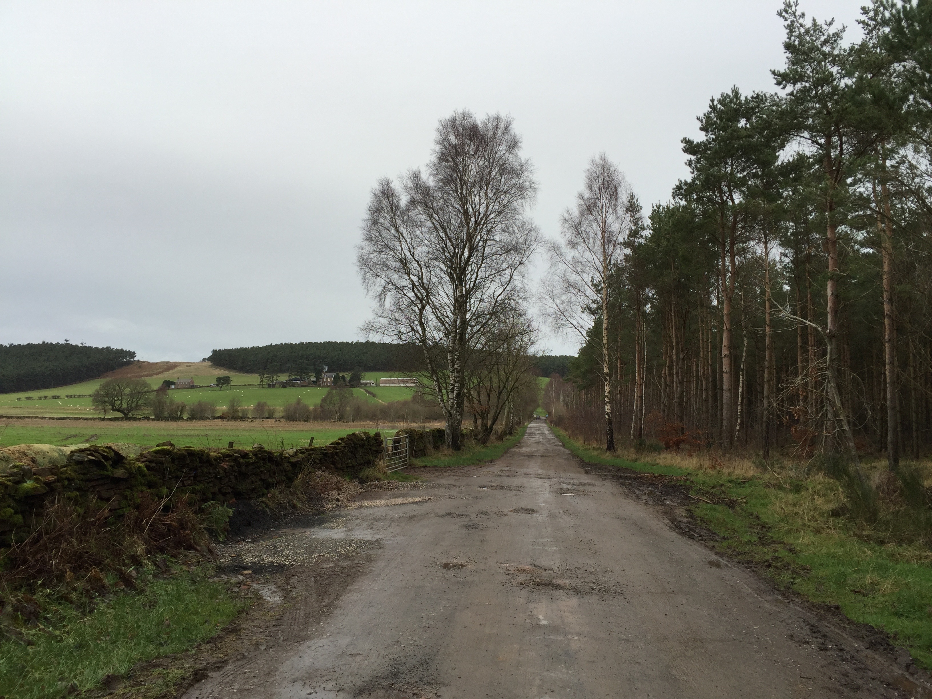
I headed out of the park and turned right, hugging the perimeter fence until I reached the lane near Salter Hill. Mostly a good track there were plenty of juicy sections to test concentration. At the lane I turned North and crossed under the A66, heading right to Eden Bridge. The river itself had returned to something like it’s normal width after the recent flooding, but the fields carried plenty of evidence of the debris that had caught up in fences and hedges.
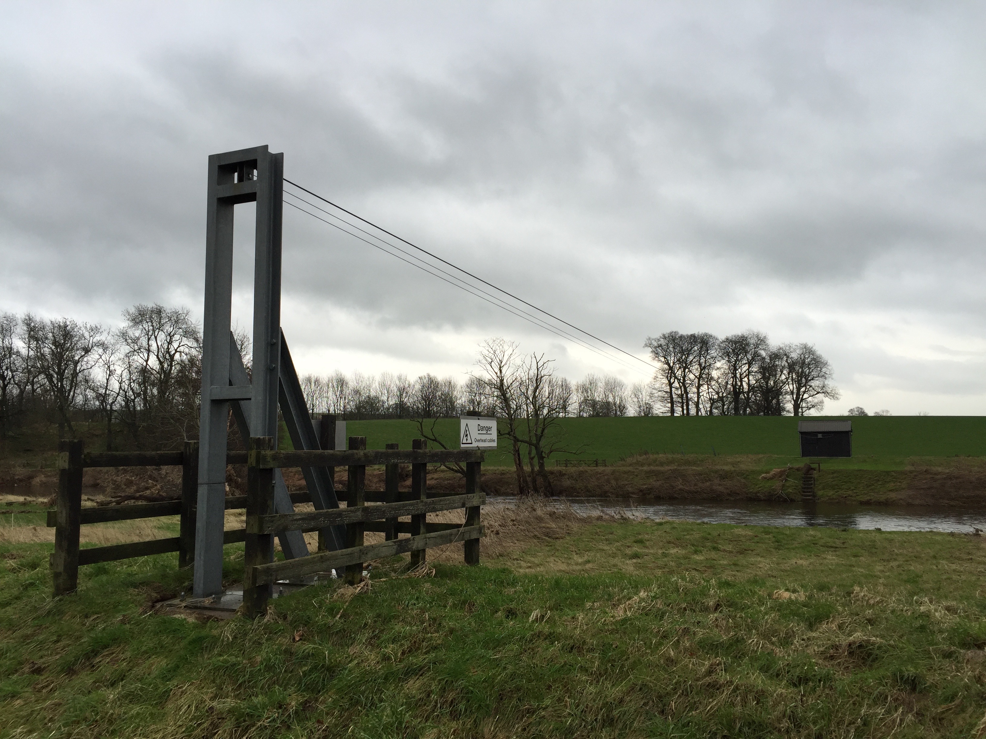
On the OS 1:25000 map I’d spotted “Aerial Ropeway” at GR 604283 and was intrigued enough to try and find it, which indeed I did. A very sturdy contraption which appeared in good repair – the ‘rope’ headed straight into a hut on the other side of the river.
There didn’t appear to be a riverside path so I returned to the road, backtracked to the A66 junction but carried on along the minor road to Woodside where I took the trail running North to the River Eamont. Here is marked a ford on the map and whilst I didn’t expect to be able to cross it I wondered if indeed there was one. The track ends abruptly at a fence just a short way from the river and whilst there was some visible ‘wear’ by the river’s edge, a ford did not look likely; hence the fence, I guess?
I returned to the road and carried on to the A66 at Lane End/Highbarn. Just 250 meters East along the A66 is a track that runs South and heads towards the main Center Parcs arrivals lodge. The A66 is a very busy – and fast – road and great care was needed to safely cover these 250 meters. (9 miles)